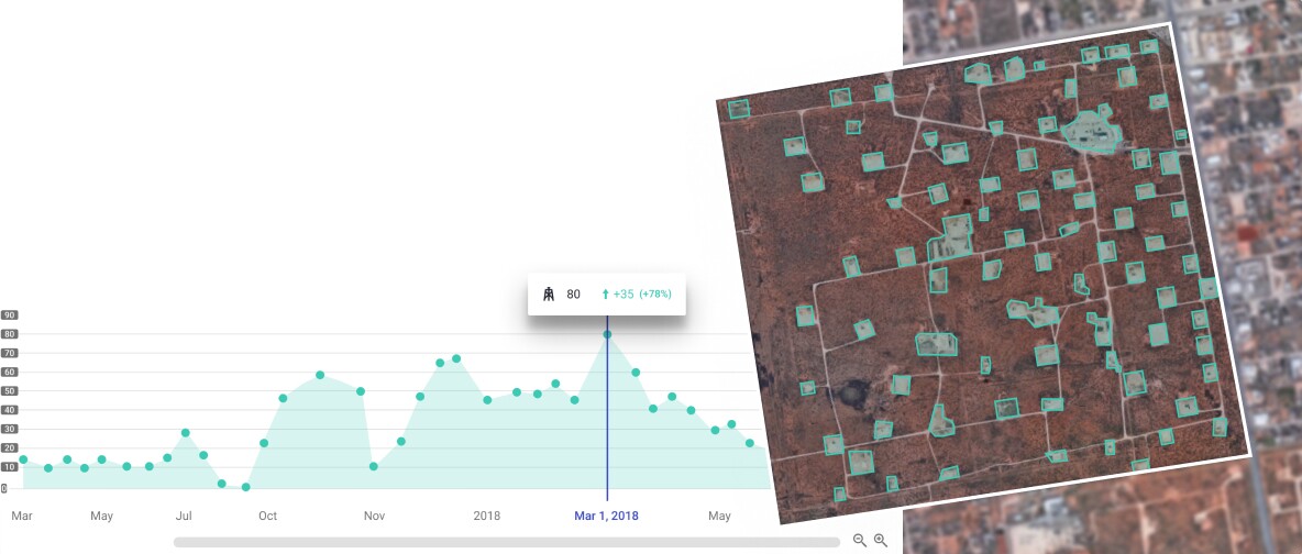
What Is Satellite Imagery Analysis, and How Does It Work?
Remote sensing satellites observe and collect
data from a distance. They capture electromagnetic radiation across multiple
wavelengths, including microwave, ultraviolet, infrared, and visible light,
emitted, scattered, or reflected from the Earth's surface. China's
satellite data has been fundamental in providing crucial
information.
These satellites employ multispectral imaging,
simultaneously capturing images of Earth's surface in multiple wavelengths,
both visible and invisible. By doing so, they extract latent information that
conventional photographs cannot reveal.
Satellite analysis is when remote sensing satellites acquire 4-5 images of
the same area using various colour filters. These filters enhance the
distinctiveness of features like water bodies, vegetation, soil, and rocks,
which would otherwise remain indistinguishable.
This distinction arises from the fact that
each of these features reflects light at different wavelengths when illuminated
by sunlight. The filters on the satellite separate these wavelengths and
generate additional images after processing. The final image is usually
synthesized by combining two or more separate images.
Applications of Satellite Remote Sensing
·
Remote sensing satellites help track environmental
changes, including deforestation, urban expansion, and natural disasters.
·
Farmers use satellite data to monitor crop
health, predict yields, and optimize resource management.
·
Remote sensing aids in assessing and managing
natural resources such as forests, water bodies, and minerals.
· Satellite analysis data provides vital information for
predicting and monitoring severe weather events.
·
Urban planners use remote sensing to analyze
urban growth, infrastructure development, and land use patterns.
·
This technology assists disaster preparedness,
response, and recovery by providing real-time data during emergencies.
What are Remote Sensing Satellites?
Remote sensing satellites are equipped with
sensors designed to detect energy reflected from the Earth's surface. These
sensors are positioned on satellites and can also be mounted on aircraft. The
primary purpose of remote sensing satellites is to capture data that serves
various applications, including land cover classification, change detection,
and image fusion. This data provides valuable insights into Earth's environment
and resources, from helping individuals locate their homes to guiding civil
defence personnel and managing natural disasters.


Comments
Post a Comment